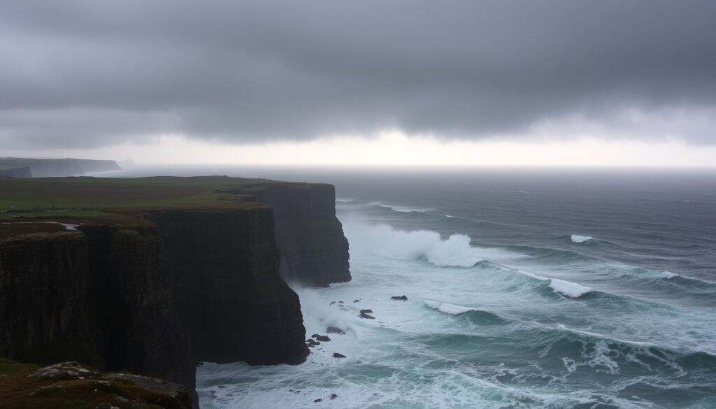
Storm Dave Ireland: Met Éireann Warnings and Updates
Storm Dave swept across Ireland on 4 April 2026, leaving 18,000 homes and businesses without power and grounding dozens of flights at Dublin, Cork, and Shannon airports. The fourth named storm of the 2025–2026 season brought Status Yellow wind warnings that held until the early hours of Sunday, with gusts at Dublin Airport topping 80 km/h at their worst.
Homes without power: 18,000 ·
Max gusts expected: over 100km/h ·
Warning level: Status Yellow wind ·
Storm date: 4 April 2026 ·
Named storms in 2025/26 season: 4th of up to 21
Quick snapshot
- Exact duration of storm from start to end
- Total economic damage across all sectors
- Whether follow-on storms will emerge this season
- Storm Dave: 4 April 2026 (RTE News)
- Status Yellow expires: 2am 5 April 2026 (RTE News)
- 2025/26 season already had 3 prior named storms (RTE News)
- Power being restored progressively
- ESB Networks crews responding where safe
- Further warnings possible as season continues
Key facts about Storm Dave’s impact on Ireland are summarised in the table below.
| Label | Value |
|---|---|
| Storm Name | Dave |
| Date | 4 April 2026 |
| Authority | Met Éireann |
| Warning | Status Yellow wind nationwide |
| Gusts | Exceed 100km/h |
| Power Outages | 18,000 homes/businesses |
Why is storm Dave called Dave?
Storm Dave acquired its name through the joint naming system used by the Irish, UK, and Dutch national weather services. Each participating service contributes names to a shared annual list—in this case, 21 names covering the 2025–2026 season. When a storm meets the criteria for an amber or red warning, the responsible service chooses a name from that list, and the alphabetical designation passes through all participating countries simultaneously. The system exists to make communications clearer: a single agreed name reduces confusion when media and emergency services in multiple jurisdictions are tracking the same weather event.
Storm naming conventions
The convention prioritizes alphabetical progression, cycling through names regardless of which country initiated the warning. This means the list might begin with names starting from A through to W or beyond, skipping any letters that have already been used that season. When a name is assigned, it appears in Met Éireann’s official forecast statements, on the UK Met Office’s warning pages, and in notices from the Royal Netherlands Meteorological Institute (KNMI).
Met Éireann role in naming
Met Éireann holds responsibility for naming storms that form in or significantly affect the Irish forecasting area. Ireland’s position on the eastern edge of Atlantic storm tracks means Irish meteorologists often identify and name systems before they reach UK waters. The service’s warnings carry particular weight because they directly inform emergency response decisions by local authorities, ESB Networks, and transport operators across the Republic.
What was the worst storm ever to hit Ireland?
Historical records kept by the Armagh Observatory stretch back centuries, and by their account the most ferocious storm to strike Ireland in modern memory was the Night of the Big Wind in early January 1839. That event brought sustained hurricane-force winds across the island for more than 24 hours, destroying hundreds of homes, flattening forests, and claiming lives across multiple counties. The damage was so widespread that parliament debated relief measures in London.
The Night of the Big Wind
The 1839 storm drew its power from an intense Atlantic depression that stalled over Ireland, allowing freezing northern winds to combine with a powerful warm front sweeping up from the southwest. Observers at Armagh recorded gusts that exceeded any documented since systematic record-keeping began. The humanitarian toll was severe: in addition to structural damage, the storm caused widespread livestock losses that strained rural communities already facing harsh winter conditions.
Modern storms overview
In living memory, storms like Ophelia in 2017 and Storm Barney in 2015 caused significant disruption, though none matched the 1839 event’s sheer destructive force. Contemporary infrastructure—sturdier building codes, underground power cables in urban areas, and improved flood management—generally limits the toll compared to historical parallels. However, the increasing frequency of named storms within a single season means the cumulative impact on communities and utilities can rival older singular events.
The implication: while individual modern storms rarely reach the extremes recorded in the nineteenth century, the sheer volume of named systems in recent seasons has exposed more people to repeated disruption within a single winter.
Which storm was worse, 1987 or 1990?
The 1987 Great Storm—best known for its devastation in southeastern England—also struck Ireland with considerable force, though the damage there was less widely publicised. Winds across Irish coastal areas reached storm force, and a number of buildings sustained structural damage. The 1990 Burns Day Storm, named for the date it crossed Britain, was meteorologically more intense over open water but affected Irish land areas less severely. The asymmetry in how these events are remembered reflects media attention, not actual meteorological impact.
1987 Great Storm details
On 16 October 1987, an unusual weather configuration brought a fast-moving but powerful Atlantic depression directly over Ireland before it reintensified and crossed the English Channel. Irish meteorological stations recorded gusts exceeding 140 km/h on exposed coasts, and the ESB reported widespread line damage. The storm also caused significant losses in the forestry sector, with thousands of acres of plantation timber flattened.
1990 Burns Day Storm
The Burns Day Storm arrived on 25 January 1990, driven by an intense Atlantic jet stream that accelerated the system to remarkable speeds. While UK media covered the event heavily because of fatalities in England, Irish impacts were modest by comparison—the storm moved quickly and spent much of its energy over the Irish Sea rather than Irish land. Weather stations in the west recorded peak gusts around 90–110 km/h, strong enough to cause local disruption but far below the damage seen in 1987.
What this means: the 1987 event caused more tangible harm on Irish soil, yet the Burns Day Storm remains better known abroad. Context matters when comparing weather extremes—where a storm peaks and how long it lingers determines the real toll.
Is there another storm coming to Ireland?
Met Éireann’s seven-day forecast chart shows continued unsettled conditions across the North Atlantic, with Atlantic depressions likely to track toward Ireland through the coming week. The 2025–2026 season has already produced four named storms from a list of 21, leaving considerable room for additional systems. The current pattern—deep low-pressure areas forming west of Iceland and diving southeast—fits a classic winter-spring transition setup.
Met Éireann current warnings
At the time of writing, the Status Yellow wind warning for Storm Dave has expired, but Met Éireann continues to monitor an active frontal system approaching from the west. Any new development meeting naming thresholds will trigger fresh alerts, which the public can track via Met Éireann’s real-time warning map and the Weather Warnings app. The service advises checking updates at least twice daily during active periods.
Upcoming forecasts
The meteorological pattern suggests winds will veer back to a more westerly direction early in the week, carrying cooler, showery air from the Atlantic. Coastal gales remain possible as subsequent systems develop, though current model runs do not indicate anything approaching the intensity of Storm Dave within the next five to seven days. Temperatures are expected to remain close to seasonal averages, with nighttime lows around 3–6°C and daytime highs of 9–12°C.
Why this matters: the naming season runs until August, which means Ireland can receive named storms well outside the traditional December–February winter peak. April 2026 is not a quiet month for Atlantic weather, and the season’s remaining 17 names may be tested.
Where is Storm Darragh going to hit?
Storm Darragh occurred in December 2024 and is included here for historical reference. For current storm information, refer to the Storm Dave section above.
Storm Darragh was the third named storm of the 2024–2025 season and brought Status Red wind warnings to parts of Wales and southwest England, with strong effects extending into Irish Sea coastal areas. In Ireland, the storm’s most severe impacts were felt in eastern coastal counties, where Met Éireann recorded gusts of 93 mph on exposed headlands. The storm caused extensive power outages, particularly in counties Wicklow and Wexford, and triggered a number of road closures due to fallen trees.
Expected path and gusts
Storm Darragh followed a southeast track across the Irish Sea, bringing its strongest winds to eastern counties before the system filled and moved into continental Europe. The UK Met Office’s warnings for Northern Ireland covered counties Antrim, Armagh, Down, Fermanagh, Tyrone, and Derry with a Status Yellow alert that ran from 2pm Saturday to 3am Sunday. Met Éireann issued a parallel Status Orange warning for Wexford, which expired at 9pm on Saturday, and a Status Yellow warning covering the rest of the country that remained in effect until 2am Sunday.
Travel disruptions
The aviation sector bore a significant portion of the disruption. Dublin Airport recorded 17 cancellations, 13 diversions, and 53 go-arounds as wind conditions exceeded safe operating parameters for some aircraft categories. Cork Airport saw five cancellations and four diversions, while Shannon Airport Group received nine diverted aircraft. The Road Safety Authority warned that high-sided vehicles and motorcyclists faced particular vulnerability, with crosswinds affecting vehicle control on exposed routes. Surface water was reported on many roads, and Donegal County Council urged extreme caution over the subsequent 48 hours.
The catch: while Darragh’s impacts were severe, they were geographically concentrated. Areas away from eastern coasts and higher elevations experienced the storm as little more than a blustery day—underscoring how local topography and exposure dramatically shape individual experience of what meteorologists classify as a single event.
Confirmed facts
- Status Yellow warning issued by Met Éireann
- 18,000 homes affected per RTE
- Gusts over 100km/h recorded at Dublin Airport (80 km/h gusts at Dublin Airport per RTE)
- Four named storms into 2025/26 season from 21-name list
Rumours and unclear points
- Exact path deviations from forecast tracks
- Whether additional storms will rival Dave in severity this season
- Total duration of infrastructure restoration
Very strong southerly winds, veering westerly by the evening with severe gusts and coastal gales.
Met Éireann (Irish national meteorological service)
If you come across fallen wires or damaged electricity network, never ever touch or approach these as they are live and extremely dangerous. Please report any damage to electricity infrastructure by calling 1800 372 999.
ESB Networks (Irish electricity distribution company)
Storm Dave is the fourth named storm of the 2025–2026 season, and the naming list runs to 21 names. With over half the season remaining, Irish households should treat each successive warning as a reminder that the infrastructure supporting power, transport, and emergency services faces repeated stress throughout the naming period.
ESB Networks warned that fallen wires carry lethal current and must never be approached. Members of the public should report damage by calling 1800 372 999 and stay at least 10 metres clear of any damaged infrastructure.
For anyone still managing fallout from Storm Dave—whether that means waiting for power restoration, rebooking a disrupted flight, or assessing a flood-damaged property—the practical reality is straightforward: keep monitoring Met Éireann’s live warning page, defer travel on high-sided routes until conditions improve, and report any electricity network damage through official channels rather than attempting self-recovery near live equipment.
Related reading: Ireland Winter Forecast Snow – 2024/25 Met Éireann Review · 10 Day Weather Forecast Carlow – Met Éireann, AccuWeather & More
Frequently asked questions
What is the current Met Éireann warning for Storm Dave?
The Status Yellow wind warning for Storm Dave has expired. The national warning was in effect until 2am on Sunday 5 April 2026, covering the entire Republic of Ireland. A Status Orange warning for Wexford expired earlier, at 9pm on Saturday 4 April 2026.
How many named storms hit Ireland last season?
Storm Dave was the fourth named storm of the 2025–2026 season, from a shared list of 21 names contributed by Met Éireann, the UK Met Office, and KNMI. The 2024–2025 season had a comparable or higher number of named systems.
What are the wind speeds for Storm Dave?
Dublin Airport recorded gusts reaching 80 km/h during the storm. Met Éireann warned of severe gusts exceeding 100 km/h in exposed coastal and highland areas, with strong southerly winds veering westerly by evening.
Is Storm Dave similar to past Irish storms?
Storm Dave sits in the mid-range of recent Irish named storms. Its peak outage count (18,000 homes) and aviation disruption exceeded the impacts of weaker recent systems but fell well short of the most severe events on record, such as the 1987 Great Storm or the Night of the Big Wind in 1839.
Where can I find live storm tracking for Ireland?
Met Éireann publishes real-time wind warnings and a live forecast chart at Met Éireann (Irish national meteorological service). The UK Met Office warning page covers Northern Ireland counties. ESB Networks outage maps show current power restoration progress across the Republic.
What is Met Éireann’s 7-day forecast?
Met Éireann’s seven-day outlook shows continued Atlantic frontal activity with winds likely to remain above seasonal averages. No immediate successor to Storm Dave is forecast to reach warning-level intensity, but additional Atlantic depressions are expected to approach Ireland through the coming week.
Are there power outages from Storm Dave?
At its peak, Storm Dave left 18,000 homes and businesses without power across Ireland. By Sunday afternoon, around 1,000 premises remained affected as ESB Networks crews worked through restoration in impacted areas. Donegal and western coastal regions recorded the highest concentration of outages.
Why does Ireland share storm names with the UK?
Met Éireann, the UK Met Office, and the Royal Netherlands Meteorological Institute (KNMI) operate a joint naming protocol. A single agreed name across all three jurisdictions prevents confusion when media and emergency responders in multiple countries track the same system. Ireland’s position on Atlantic storm tracks means Irish meteorologists often initiate naming decisions.
More related posts
 iPhone 16 Pro Max Case: Best Ireland Options
 Who Killed Michael Collins? The Assassination of an Irish Revolutionary
 Houses for Sale in Millstreet Cork – Listings & Prices
 Four Star Pizza Menu: Prices, Deals & Regional Options
 Tattoo Ideas for Women: Trendy & Meaningful 2026 Designs
 Used BMW X3 for Sale Ireland: Best Years & Prices
 The Mater Hospital Dublin: Specialities, Costs, Transport
 Best Places to Camp Near Seattle: 20 Top Campgrounds (2026)